StreetFlow:
AI-Powered
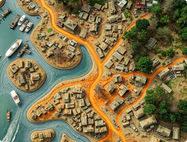
Urban Monitoring
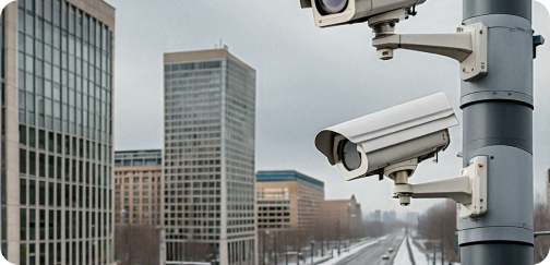
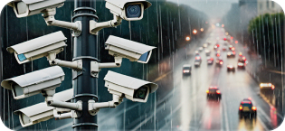
Leveraging existing street cameras to provide real-time insights for flood detection, snow accumulation, and traffic monitoring.
Urban Planning & Environment
Use real-time and historical data to guide infrastructure improvements and resilience.
Emergency & Traffic
Immediate updates on weather and road conditions to aid emergency teams and manage city traffic effectively.
How it works
Real-Time Monitoring
Our technology continuously analyzes camera footage, detecting critical events as they happen.
Data collection
We gather statistical data on floods, snow, and traffic patterns, supporting long-term urban planning.
AI-driven insights
Our sophisticated algorithms provide actionable insights, enabling better resource allocation and response strategies.
Key benefits
Cost-Effective Solutions
By utilizing existing infrastructure, we eliminate the need for expensive new hardware installations.
Immediate Response
Our system allows cities to act quickly in emergencies, minimizing damage and enhancing public safety.
Support for Urban Resilience
Data-driven insights foster smarter planning and preparation for future challenges, improving overall city resilience.
Join us in building smarter cities
Contact usWhy StreetFlow is your go-to solution for urban monitoring
Proven Technology
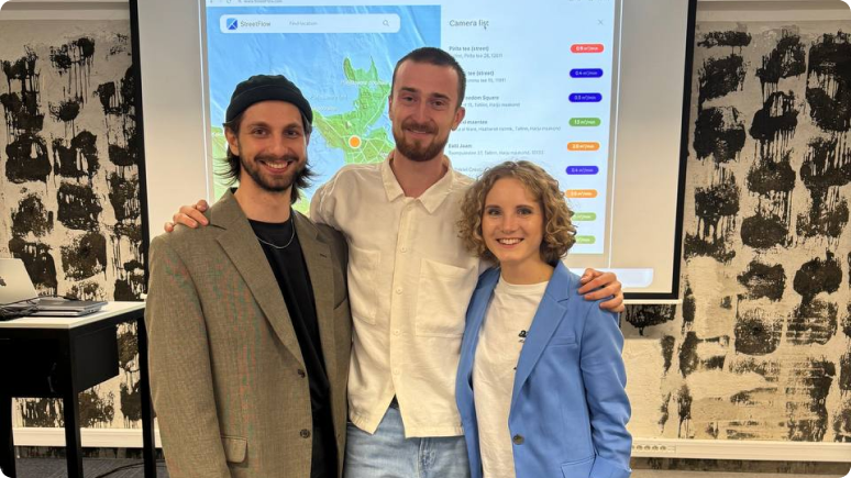
Our solution has been recognized with accolades, including winning the Garage48 Hackathon with a working prototype in just 48 hours.
Future Scalability
StreetFlow is adaptable to various urban challenges, from monitoring environmental conditions to optimizing traffic flow.
Dedicated Team
Our experienced team specializes in computer vision, product design, and business strategy, ensuring we deliver the best solutions for urban needs.